
Skyline down to I-35 5 miles to the edge of downtown East side of Duluth
https://superiorhiking.org/trail-section/mnwi-border-to-duluth/#section_10
No camping in the city.
Trail is well maintained with a variety of sites.

On a record warm day in November for Duluth, we set out to conquer “the hill”. If you have so much as driven through Duluth on the highway, you can’t miss that it sits on a hill. The lake is at 600 ft above sea level and the top of the hill that holds iconic images like Enger Tower is over 1,300 feet. So, forgive us if we decided to start at a higher elevation for this 5 mile stretch. We also skipped a few miles from Highway 35 and Grand Ave, but we’ll circle back to that.
If you know anything about the last decade or so of Duluth history, you know that they have been working on these woods that are too steep to build on, improving them with hiking and biking and other sporting activities. They are a major attraction. If you look on the Duluth trail map you will see a variety of trails. It can be hard to pick out the Superior Hiking Trail. But, while walking from Haines Road down to the Bayfront, we never made one wrong turn. The signage was great, and the design of the area keeps everyone happy. You can see the mountain bike trails, and every now and then a biker flashes by, but you only cross the trails a couple times. There is some cliff climbing in here somewhere too, but we never noticed it.

We did notice the ups and downs. We started at 1,040 ft and peaked at Enger Park at 1,150. Throughout the hike we gained 900 ft and lost 1,500. A couple short sections were city parks with paved or gravel trails or boardwalks, but most of it was just dirt and on a bad day could be mud, so don’t be fooled by the fact you are in a city. There are a couple creek crossings and the larger ones have well built bridges. Only in extreme conditions would these be a problem.
As soon as you step off of Haines Rd, the city sounds will fade and you won’t believe you are surrounded by 80,000 people. On the other end, just before we reached W Michigan St, we were very much reminded of where we were when we spotted a homeless encampment. We didn’t see anyone, but that doesn’t mean you should not be vigilante. More on that later.

Haines Rd is N 40th Ave from Highway 35. Just climb straight up, past the big switchback and you can’t miss the parking lot, the signs, and the trail. If you’re going back toward Spirit Mt. the sign over the tunnel tells you that you are on the trail. You’ll immediately notice the variety of trees and that the area is obviously managed, but still quite wild. After a mile or two you will start to get vistas of the city and the lake and the harbor and the noise is not quite as filtered out.
 |
| Lincoln Park |

You’ll come down a bit and then level off and pick up W 10th St., a quiet neighborhood with a great view. There is some street parking that you could use to access the trail but you would probably be better off going up to N 24th and Piedmont Ave. if this is where you want to start your hike. There is official parking there with an official SHT sign. Piedmont is also called highway 53 but you can’t park on that. If you come up that way, get off and find the residential part of Piedmont. If you are hiking through, take the big bridge over 53.
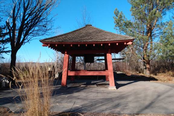
It’s a little brushy through here, just south of the Enger Park Golf Course, but then it breaks into Enger Park with a tranquil Japanese garden, and of course, Enger Tower. Stay on the high side of the park unless you want to go over and see the view from the Tower. It’s all downhill from here. You might not notice when you get into Central Park. It is much smaller than its New York namesake. West 3rd St. goes through that, but there is no parking. On the edge of that park, you will use a short section of N 14th Ave W with a possibility of on street parking. Pick up the trail again and you will be along a steep cliff above W Michigan.

I have driven by this spot on W Michigan St. many times and noticed people on the sidewalk with camping equipment, but not the expensive long range hiking variety. More like the ‘carry your home on your back’ variety. What I never noticed is the little SHT sign at the intersection of Glen Pl Dr. You are within view of some housing and W Michigan is very busy but you are also under the cover of woods. Safety is an issue here. My hope was that anyone there would not want to create a reason for anyone to bother them, so they would be motivated to not bother us. But there could be people there who weren’t that good at making decisions like that too.

When you get to W Michigan St. the trail is a city paved walkway for the next few miles. The pedestrian bridge over 35 is the trail. Use the handicap ramp going down and either stay on it and cross back under the highway then up to Bob Dylan Way and downtown Duluth, or stay near the railroad tracks and visit Bentleyville or Bayfront Park. Keep walking right along the lake and past the William A Irvin freight ship to get to the Duluth Lakewalk. Officially, the route is past Amazing Grace Café and along the Lake City Parking Lot. Follow the walk to the Duluth Rose Garden to get to the next section.

